Geography for Kids and Teens
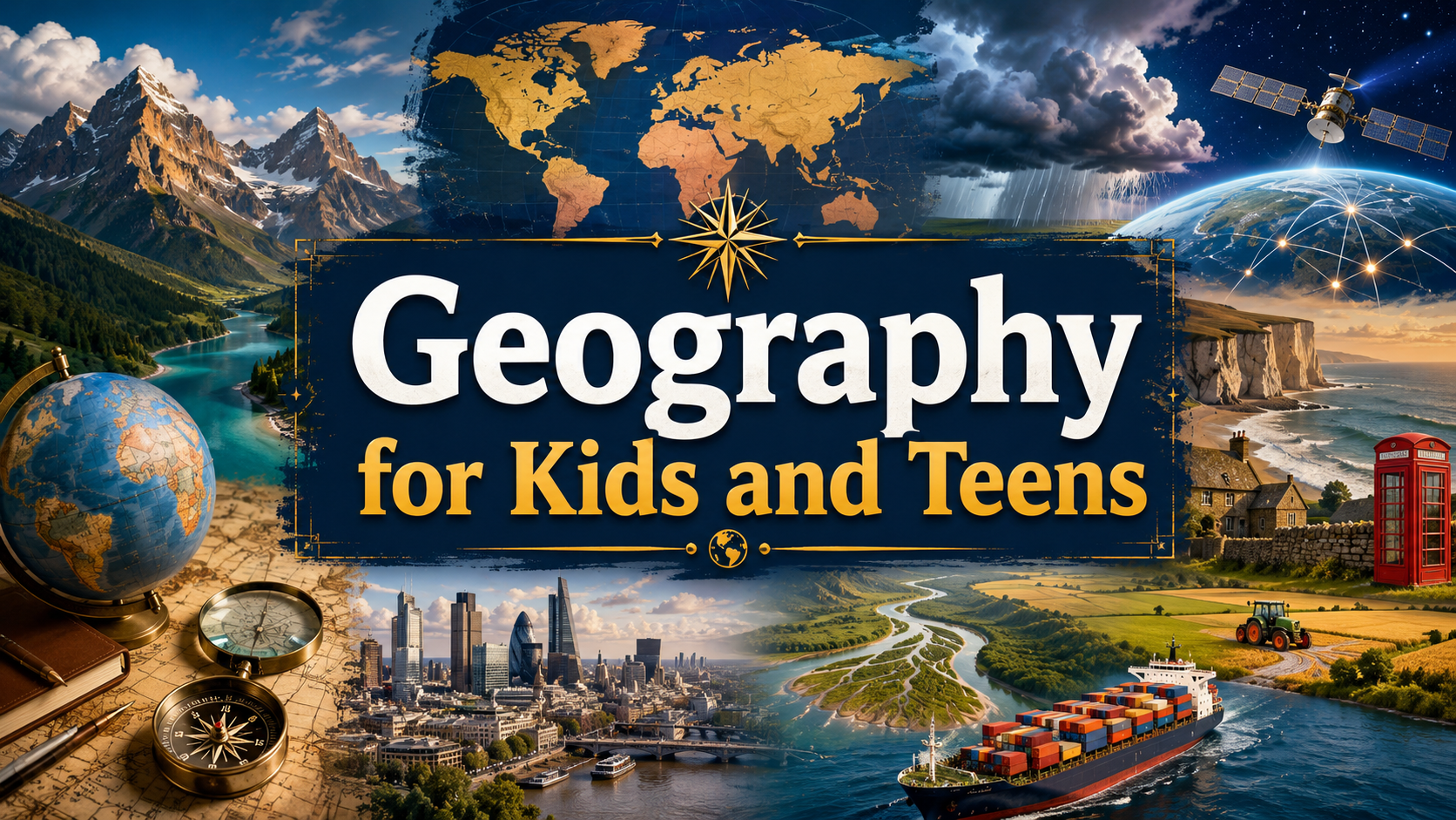
Explore geography for kids and teens with clear, engaging lessons designed for home education, independent learning, revision and curious young minds. Discover the landscapes of Britain and the wider world, investigate rivers and weather, understand population and trade, and learn how maps and geographic data help us make sense of our planet.
Lenara Learning is built with home-educating families in mind, so geography does not have to be studied in a rigid order or tied to a particular age. Choose a place, landscape or question that interests you, explore one of the featured lessons below, or follow a topic from the UK countryside to the Himalayas, the Amazon and the changing Pacific Ocean.
Explore Places, People and a Changing Planet
Geography helps explain why the world looks and works the way it does. Why are some parts of Britain densely populated while others contain only scattered communities? How can a river create new land? Why do deserts form in very different parts of the world? How can mountains influence people living hundreds or even thousands of kilometres away?
Geographers investigate both natural processes and human activity. They study mountains, rivers, weather and landscapes, but they also examine cities, population, trade, transport, development and the ways people use and change environments.
This means geography connects the physical world with the people living in it. A river is not only moving water. It may also provide drinking water, irrigation, transport, energy, wildlife habitat and land on which millions of people depend.
Choose a Geography Topic
Explore the area of geography that interests you most. Each section contains lessons that introduce important geographical ideas in clear language for young learners.
Global Development and Trade
Explore why countries develop differently, how international trade connects people around the world and what happens along global supply chains.
Maps, Navigation and GIS
Discover how maps, satellite navigation and geographic information help us locate places, understand patterns and navigate the world.
Rivers, Coasts and Landscapes
Investigate erosion, deposition, rivers, waterfalls, deltas and the natural processes that create and reshape landscapes.
UK Geography
Explore Britain's population, countryside, rivers, mountains and regional landscapes, and discover why different parts of the UK look and feel so different.
Weather and Climate
Discover how the atmosphere and oceans interact and how patterns such as El Niño and La Niña can influence weather far around the world.
World Geography
Travel beyond Britain to explore mountains, deserts, rivers, cities, volcanoes and the physical and human geography of places around the world.
Featured Geography Lessons
Not sure where to begin? These lessons take you from Britain and the world's great mountain systems to river landscapes, global trade, satellite navigation and changing weather patterns.
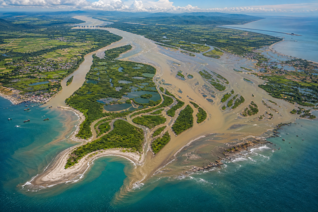
How River Deltas Build New Land
Discover how sediment carried by rivers can settle near their mouths and gradually create wetlands, islands and new land.
Explore this lesson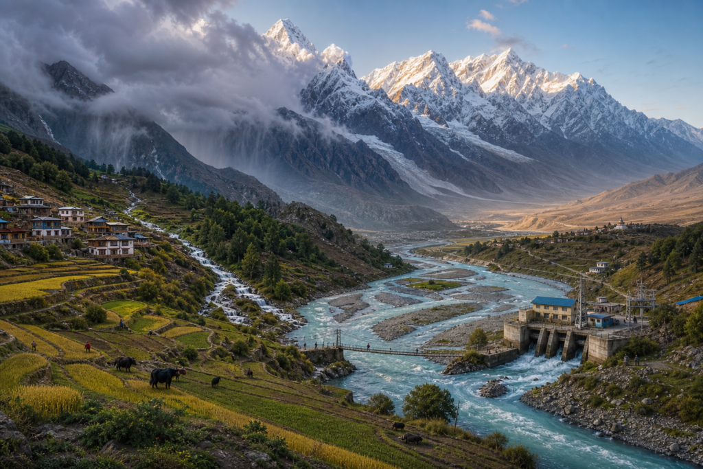
How the Himalayas Shape the Lives of Billions
Explore how mountains, glaciers, rivers, rainfall and water resources connect the Himalayas with communities across a huge part of Asia.
Explore this lesson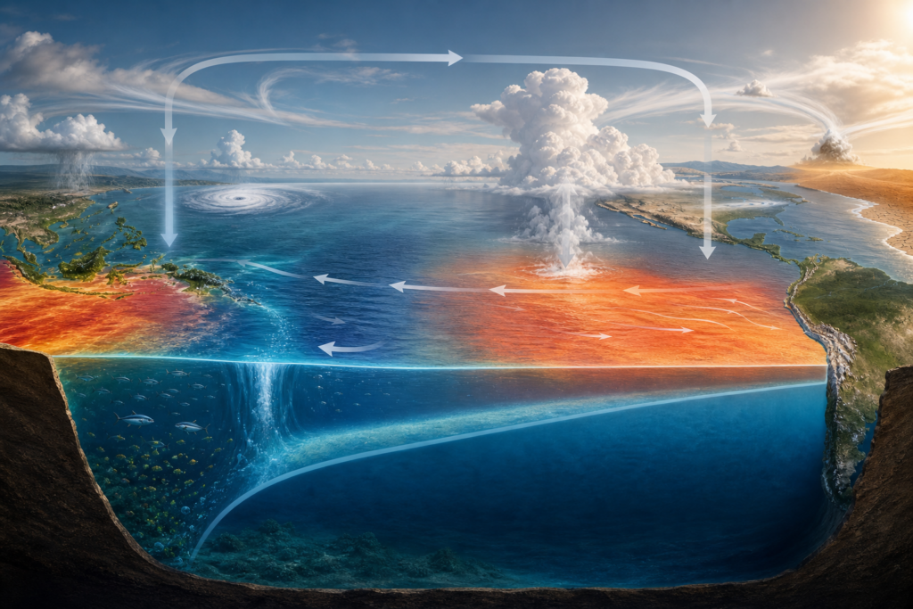
El Niño and La Niña: How the Pacific Ocean Changes Weather Around the World
Discover how changes in the tropical Pacific Ocean and atmosphere can alter the chances of drought, rainfall and heat thousands of kilometres away.
Explore this lesson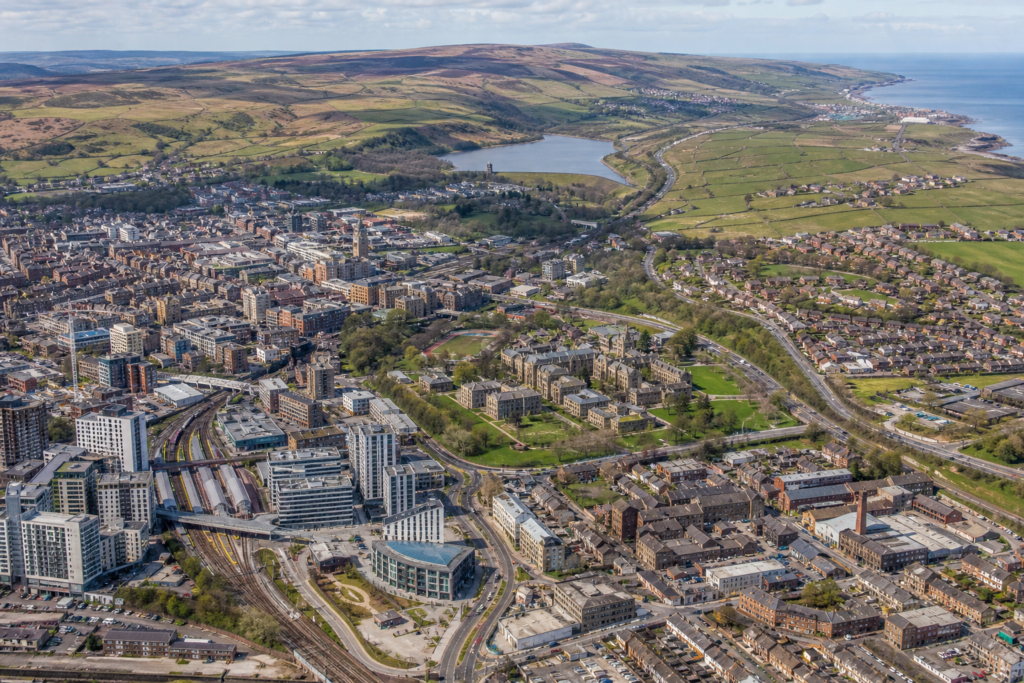
How the UK's Population Is Distributed and Why It Varies
Explore why some parts of the UK contain major cities and dense populations while other regions have far fewer people.
Explore this lesson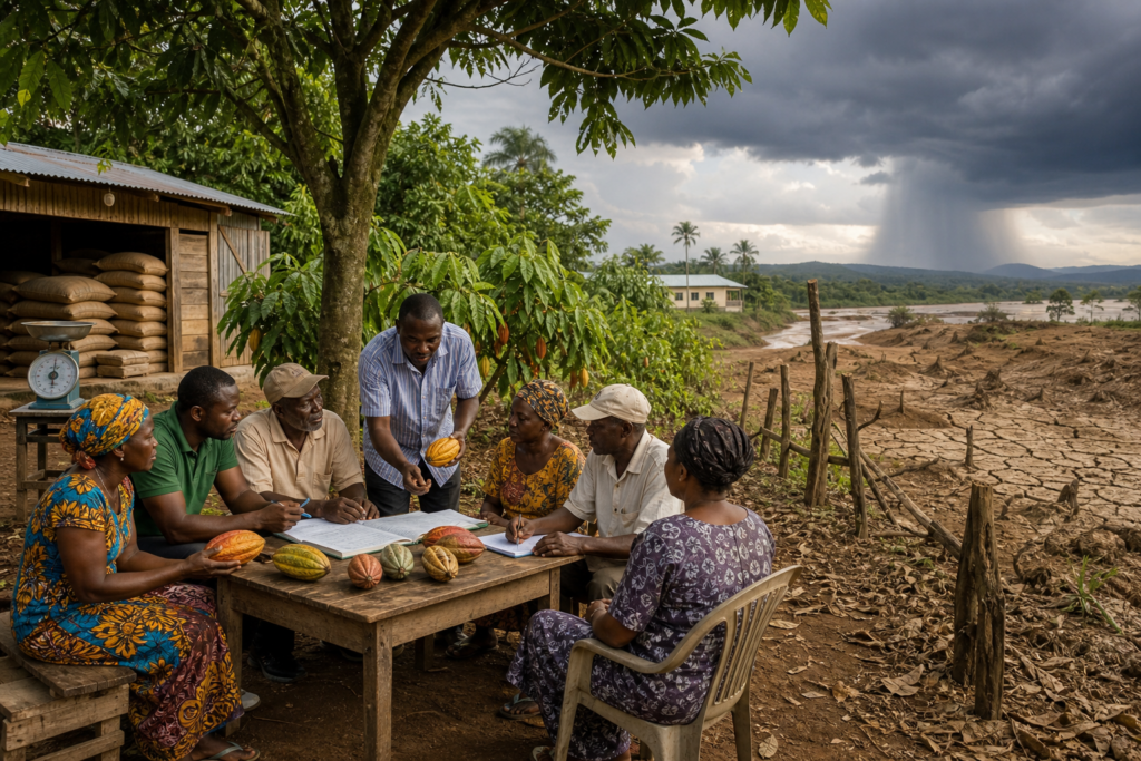
Fair Trade: What It Changes and What It Cannot Fix
Examine what fair trade and Fairtrade certification can change for producers, workers and consumers, and where their limits lie.
Explore this lesson
How Satellite Navigation Finds You: GPS, Atomic Clocks and Einstein
Find out how navigation satellites, precise timing and distance measurements allow a phone or receiver to calculate its location.
Explore this lesson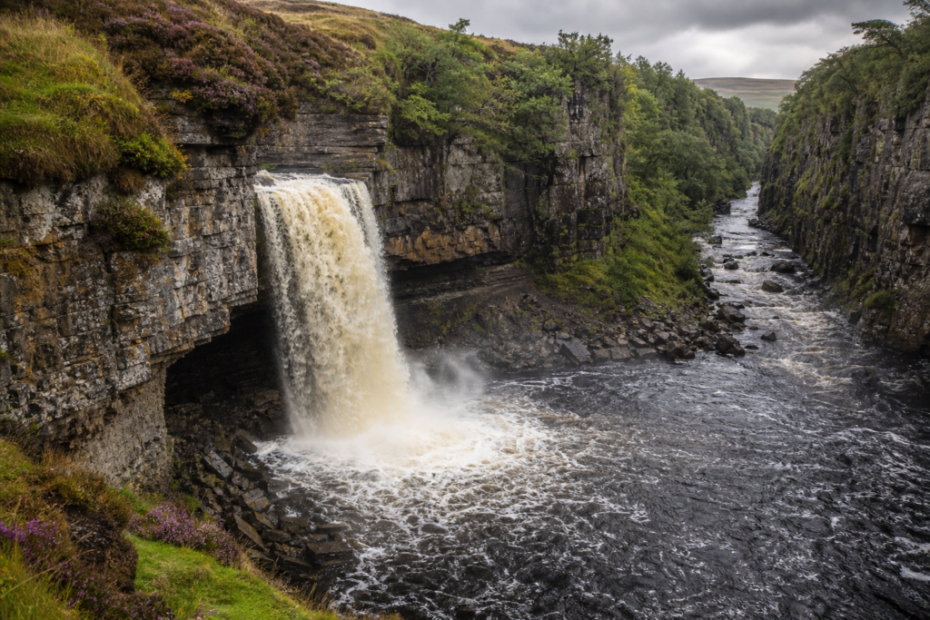
How Waterfalls Retreat and Carve Deep Gorges
Follow the processes of erosion and undercutting that can move a waterfall upstream and leave a steep-sided gorge behind it.
Explore this lesson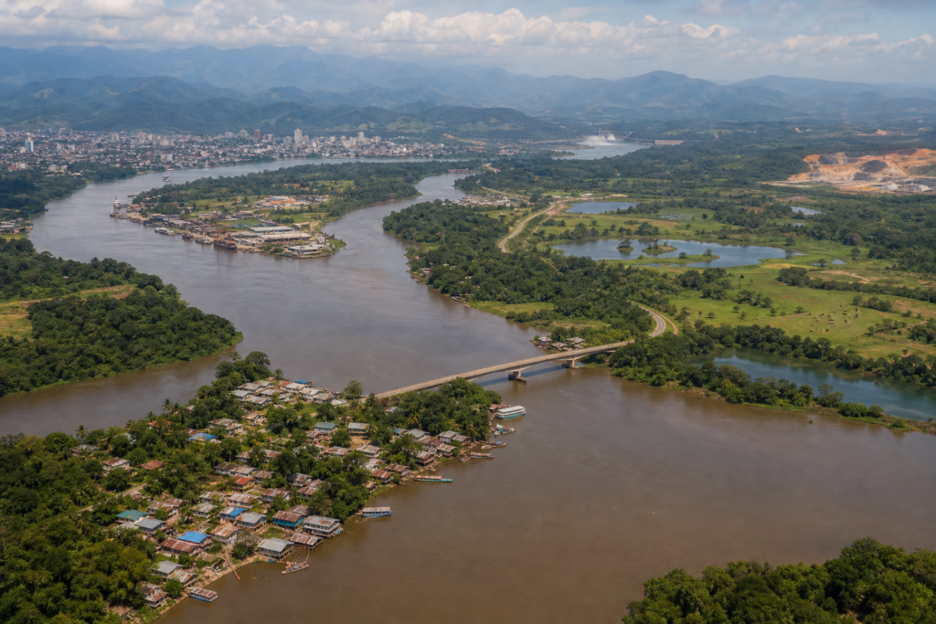
The Geography of the Amazon Beyond the Rainforest
Explore the Amazon as a region of rivers, cities, farms, transport routes, international borders and communities as well as rainforest.
Explore this lessonUK Geography: Understanding the Country Around Us
Geography can begin close to home. Britain contains mountains, lowlands, river valleys, cities, farmland, industrial areas and long coastlines, all within a relatively small group of islands.
Our UK Geography lessons explore how physical processes and human decisions have combined to create the landscapes and settlement patterns we see today.
The UK population is not spread evenly. London and other major urban areas contain large concentrations of people, while some upland and rural regions are much more sparsely populated. Employment, transport, industrial history, housing, terrain and access to services can all influence where people live.
Even landscapes that appear completely natural can have been shaped by centuries of human activity. Fields, hedges, dry-stone walls, woodland and moorland may reflect farming decisions and changes in land use stretching back generations.
World Geography: Places Are Connected
World geography is not simply about memorising countries, capitals and flags. It investigates why places develop as they do and how one part of the world can influence another.
Our World Geography lessons explore mountains, deserts, rivers, cities and regions across the planet.
A mountain range can influence rainfall, rivers, farming and energy supplies far beyond the mountains themselves. A desert may form because of global atmospheric circulation, cold ocean currents, distance from the sea or a rain shadow created by mountains.
Large regions such as the Amazon also show why simple labels can be misleading. The Amazon is famous for rainforest, but its geography also includes major rivers, cities, international borders, roads, farms, mines and communities whose lives are connected to the wider world.
Rivers, Coasts and the Landscapes Around Us
Landscapes are not permanent. Water, weather, gravity and geological processes continually reshape Earth's surface.
The Rivers, Coasts and Landscapes lessons explore processes such as erosion, transport and deposition and show how they create recognisable landforms.
Rivers can wear landscapes away, but they can also create new ones. Sediment deposited at a river mouth can gradually build a delta, while erosion at a waterfall can cause the waterfall to retreat upstream and leave a gorge behind.
Understanding a landscape therefore involves asking what processes are acting on it, what materials are present and how conditions have changed through time.
Weather and Climate Connect Distant Places
Weather describes atmospheric conditions over relatively short periods, while climate describes longer-term patterns. Both are influenced by systems that can operate across enormous distances.
Our Weather and Climate lessons examine how oceans and the atmosphere interact and why a change in one region can influence conditions elsewhere.
El Niño and La Niña provide a good example. Changes in sea-surface temperatures, winds and ocean circulation across the tropical Pacific can affect rainfall and drought probabilities in distant parts of the world.
This does not mean one climate pattern simply causes every individual heatwave, flood or storm. Geographers and climate scientists have to examine several interacting factors before deciding how strongly a particular event may be connected to a larger pattern.
Human Geography: Why People and Places Affect Each Other
Geography is as much about people as it is about mountains and rivers.
Population, migration, cities, farming, transport, employment and trade all have geographical patterns. People respond to the opportunities and limits of different environments, while their decisions can transform those environments in return.
Global trade makes these connections especially visible. A phone, pair of trainers or chocolate bar may depend on raw materials, workers, factories, transport networks and companies spread across several countries.
Our Global Development and Trade lessons explore these connections and examine why economic opportunities and living standards vary between countries and regions.
Maps Help Us See Patterns
Maps do much more than show where places are.
Different maps can reveal population density, elevation, rainfall, transport networks, land use, political boundaries and countless other geographical patterns. Choosing the right map can make relationships visible that would be difficult to notice from a list of numbers.
Modern geography also uses satellite navigation and geographic information systems. The Maps, Navigation and GIS collection explores how location data and digital mapping technologies help people navigate and analyse the world.
Using maps well also requires critical thinking. Scale, projection, symbols and the information chosen by the mapmaker can all affect what a map communicates.
Geography for Home Education
Geography works particularly well within home education because it connects naturally with everyday life and with many other subjects. A learner interested in mountains can explore geology, climate, rivers, ecosystems and human settlement. An interest in a city can lead into population, history, transport, economics and culture.
Lenara Learning geography lessons are designed to support this flexible approach. They can be used as part of a wider home education programme, for independent study, revision, supporting schoolwork or simply because a place or question has captured a learner's interest.
Home-educating families do not need to work through every geography topic in a fixed order. Learners can begin with Britain, investigate a particular country or landscape, follow a weather event, explore maps or examine how products travel through global supply chains.
As different topics are explored, connections between physical geography and human geography become clearer. The landscape affects people, and people continually reshape the landscapes in which they live.
How Do Geographers Know What Is Happening?
Geographers use many different kinds of evidence.
Maps, satellite images, censuses, weather observations, photographs, surveys, population statistics, economic data and measurements of rivers or landscapes can all help answer geographical questions.
The evidence needed depends on the question. Understanding population distribution might require census information and maps. Investigating a changing coastline could involve photographs and measurements taken over many years. Studying global trade may require information about imports, exports, employment and transport networks.
Evidence also has limitations. A map can become outdated, a survey may represent only a small group of people, and national averages can hide large differences between regions.
Good geographical thinking therefore involves asking where information came from, what it measures and whether it is suitable for the question being investigated.
Physical and Human Geography Work Together
Physical geography examines natural processes and environments, while human geography explores people, settlements, economies and societies. In the real world, the two are constantly connected.
A mountain range is a physical feature, but it can affect where people live, how roads are built, how much rainfall an area receives and where rivers provide water. A river delta is created by physical processes, but it may also contain farms, ports, cities and millions of people.
Climate influences agriculture and water supplies, while human activities can alter land use, river systems and atmospheric conditions.
Understanding these connections is one of the most important parts of geography because it helps explain why environmental and social questions rarely have simple answers.
What Skills Does Studying Geography Build?
Geography develops skills that are useful far beyond remembering place names.
- Map reading helps you understand locations, distances, patterns and spatial relationships.
- Data interpretation helps you make sense of graphs, maps, statistics and geographical evidence.
- Cause and effect helps you understand why landscapes, populations and economies develop differently.
- Comparison helps you recognise similarities and differences between places and regions.
- Scale helps you move between local, national and global perspectives.
- Systems thinking helps you understand how oceans, weather, rivers, economies and human activity can affect one another.
- Critical thinking helps you question maps, statistics and claims rather than accepting them automatically.
- Decision making helps you consider competing needs when people use land, water and other resources.
These skills are particularly useful when understanding news stories about weather, migration, climate, trade, development, natural hazards and changes to the places where people live.
Do You Need to Learn Geography in Order?
No. Some ideas connect with one another, but geography does not need to be explored as a single fixed sequence.
If you want to understand Britain, start with UK geography. If mountains and deserts interest you, explore world geography. If you want to know how waterfalls and deltas form, investigate rivers and landscapes. If you are interested in maps and technology, begin with navigation and GIS.
This flexibility suits home education particularly well because a learner can follow one question into several connected subjects rather than stopping when it crosses a traditional subject boundary.
As you explore more lessons, individual places and processes begin to form a larger picture. Rivers connect mountains to coasts, trade connects producers to consumers, and weather systems connect distant parts of the planet.
Keep Exploring Geography
Lenara Learning has a growing collection of Geography lessons covering Britain, world geography, rivers and landscapes, weather, maps, population, development and global trade, created to support home education, independent learning, revision and curious young learners.
Browse all Geography lessons to see the complete collection, or return to the Lenara Learning lesson library to explore science, history, maths, technology and many other subjects for kids and teens.